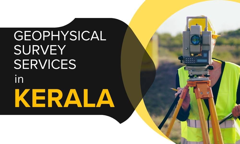
Geophysical Survey Services in Kerala
Trusted by clients across Kerala for borewell detection, site evaluation & more.
What is a Geophysical Survey?
Non-invasive subsurface investigation using tools like electrical resistivity, seismic methods, and GPR. Applications include:
- Groundwater detection
- Mineral exploration
- Civil engineering site assessments
- Archaeological surveys
- Environmental hazard mapping
Why Kerala Needs Expert Surveys
Kerala’s unique geography needs precision tools for accurate planning. Geophysical surveys help:
- Improve borewell drilling accuracy
- Ensure safer construction practices
- Prevent landslides and soil issues
- Support water resource planning
Velciti’s Key Services
- Electrical Resistivity Surveys (ERS): Identifies groundwater sources and soil resistivity.
- Seismic Refraction & MASW: Analyzes soil/rock layers for civil projects.
- Ground Penetrating Radar (GPR): Maps shallow subsurface features and cavities.
- Magnetic & Electromagnetic Surveys: Useful in mineral exploration and mapping.
- Geotechnical Integration: Combines geo-data for full site analysis.
Why Choose Velciti?
- Kerala Expertise: Deep understanding of regional soil and groundwater profiles.
- Modern Equipment: High-resolution tools and software.
- End-to-End Support: From fieldwork to certified reports.
- Tailored Solutions: Every site evaluated uniquely.
- Fair Pricing: Best-in-class service with competitive quotes.
Frequently Asked Questions
Q1: How much does a geophysical survey cost in Kerala?
A: Cost varies by size & method. Velciti offers free quotations.
Q2: How long does the survey take?
A: Typically 1–3 days depending on site complexity.
Q3: Do you detect borewell points?
A: Yes, borewell detection is one of our most requested services.
Q4: Are Velciti reports accepted by authorities?
A: Absolutely. All reports are formatted for official approvals.
Book Your Survey with Velciti
📞 Call Now: 93840 33283
📍 Serving: Trivandrum, Kochi, Calicut, Palakkad, Idukki, Wayanad & More